Well Service in Walkertown, NC

Walkertown homes on private wells are our work, and here is the local background and how we handle the repairs.

Map: Walkertown, NC in relation to GreensboroWalkertownGreensboro21.3 miKernersvilleWinston-SalemColfaxOak RidgeFORSYTHGUILFORD
Town
Walkertown, NC
County
Forsyth County
From our Greensboro office
21.3 miles, straight line
Open Walkertown in Google Maps

The town sits on several ridge lines in Forsyth County, so its land drains five different ways, and when the county wrote its area plan in 2006, most of that land was still farms, big lots, or woods.

Ridge lines, five watersheds, and the creeks to Salem Lake

The Walkertown Area Plan, adopted by the Forsyth County commissioners on October 23, 2006, describes a planning area split by ridges into five separate watersheds. Lowery Mill Creek and Martin Mill Creek flow to Salem Lake. At the time, about 358 acres of floodplain followed parts of those two creeks plus Fraizer Creek, Mill Creek, Belews Creek, and West Belews Creek. Most of the steepest slopes were in the far north.

Inside the Salem Lake watershed, the plan set residential lots at a 20,000 square foot minimum, or 40,000 square feet for a home on a septic tank, with a 30-foot vegetated buffer from streams and ponds.

What the 2006 plan found on the ground

As of 2006, about two-thirds of the planning area was farmland, large-lot homes on 5 acres or more, or undeveloped. Most of the rest was low-density housing, with businesses along NC 66 and in the old Town Center on US 311. Manufactured housing parks sat mainly in the western and rural northern sections. Gravity wastewater service reached development near downtown in 2004, opening about 2,600 acres in the Lowery Mill Creek basin, and the plan expected growth to pick up. The 2020 Census counted 2,598 housing units in town.

County permits, creek-side wellheads, and bacteria

Forsyth County Public Health's environmental health staff permit and inspect wells for this area. Building or repairing a well takes its permit, while a pump or tank job that keeps the seal closed does not. Coliform, in NC DHHS's telling, slips into wells through bad construction, cracked casing, or open tops, and the agency wants a test after any flood. A wellhead in low ground near a creek deserves a tight cap and a yearly test.

Reidsville Road, Old Hollow Road, and Walnut Cove Road

Walkertown is roughly 21.3 miles west of Greensboro, measured point to point. US 158, called Reidsville Road here, runs east into Guilford County and is our usual way in. NC 66, Old Hollow Road, connects south through Kernersville, and US 311 follows Walnut Cove Road. We handle pump repair and replacement, pressure tanks, no-water calls, casing and cap repair, and water treatment. Hours are weekdays 8am to 5pm; on weekends, call or text (336) 613-4314.
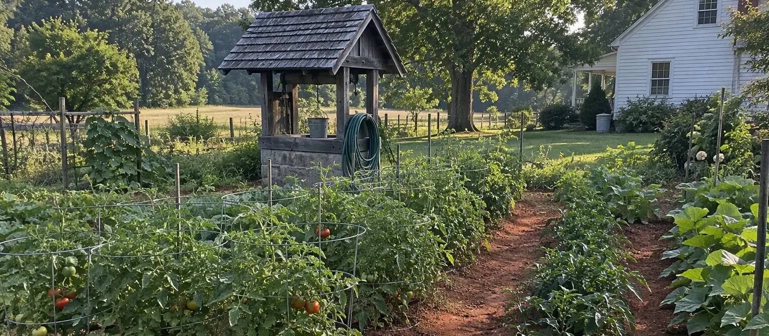
Small well house beside a vegetable garden behind a farmhouse

ZIP code we cover around Walkertown: 27051.

What Walkertown well owners ask

Still stuck? (336) 613-4314

How current are the Walkertown planning figures?

They come from the Walkertown Area Plan, adopted in October 2006 and published in April 2007. The town has grown since, especially after wastewater service reached the Lowery Mill Creek basin. Treat the plan's acreage and land use numbers as a snapshot from that time.

How big a lot does a house on septic need in the Salem Lake watershed?

The 2006 area plan set the minimum at 40,000 square feet for a home with a septic tank in the Salem Lake watershed, double the 20,000 square foot minimum for other homes there. Check current rules with the county before buying or dividing land.

Wastewater service runs near downtown. Does that mean I'm on public water?

Not necessarily. Wastewater service and water are separate services, and the area plan doesn't name the water provider for town homes. Winston-Salem/Forsyth County Utilities runs public water in the county. If the house has its own pressure tank and you pay no water bill, assume a well and treat it like one.

My lot backs up to one of the creeks. Is my well at risk?

It can be, if the wellhead sits low. The 2006 plan mapped floodplain along Lowery Mill, Martin Mill, Fraizer, Mill, Belews, and West Belews Creeks. Keep the casing well above grade and the ground sloped away, and test the water after any flood.

Who issues well permits for a Walkertown address?

The Forsyth County Department of Public Health, Environmental Health Division, in Winston-Salem. It permits well construction and repair and samples existing wells on request. Replacing a pump or a pressure tank without breaking the well seal needs no repair permit.

Will replacing my pressure tank require a county permit?

It won't. State law skips the repair permit for pump and tank swaps and for upkeep that never opens the well seal. Tank work happens above ground, at the tank and the pressure switch. Before replacing anything, we test the old tank's air charge to be sure it is the culprit.

How does bacteria get into a well?

Through openings. Rain and bugs find their way down a cracked casing, past a loose or broken cap, through a missing seal, or along soil that tilts toward the wellhead. NC DHHS links coliform in wells to poor construction, cracks, and unsealed tops. Fix the opening before disinfecting, or it returns.

The pump breaker tripped. How many times should I reset it?

Once. If it pops again, quit and leave it off. Repeat trips mean the breaker is guarding a circuit that pulls too much current, maybe from a motor going bad, a splice that took on water, or a control box part. Forcing it back on again and again can kill the motor.

Good references

Official pages we point homeowners to. They open in a new tab.

No water, low pressure or bad taste?

Call or text. Monday to Friday, 8am to 5pm. Saturday and Sunday: call or text.